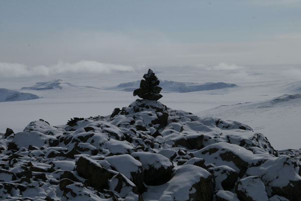
Watkins Mountains, N68:55.2 W029:53.9
Highest mountain in Greenland and the Arctic
(highest mountain North of the Arctic Circle)
First ascent 1935: A. Courtauld
Our ascent: 29.04.2008
Route: SW ridge (PD)
Ski descent (Csak)
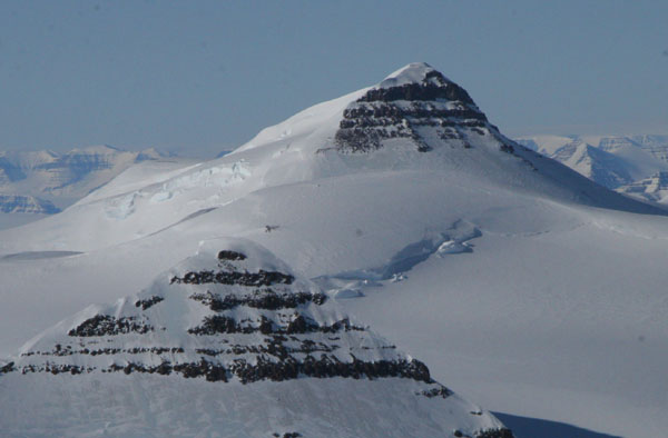
Watkins Mountains, N68:50.4 W029:55.4
Second-highest in Greenland
First ascent 1988: I. Olsson
Our ascent: 04.05.2008
Route: Crossing via E ridge (PD-)
Ski descent W ridge und S flank
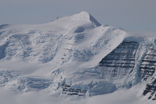
Watkins Mountains, N68:52.3 W029:57.0
Third-highest in Greenland
First ascent 1988: I. Olsson
Our ascent: 05.05.2008
Route: Crossing via S flank (PD+)
Ski descent SW flank
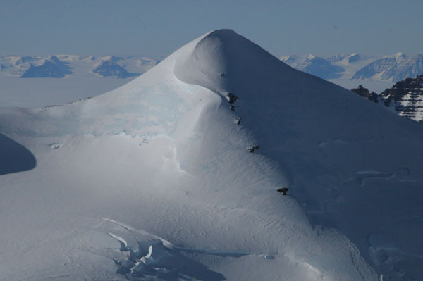
Watkins Mountains, N68:48.6 W029:33.1
Fourth-highest in Greenland
First Ascent 1988: J. Lowther (unconfirmed)
Second Ascent 1996: P. Grossman
Our ascent: 01.05.2008 (6th ascent in history)
Route: first via Deception Dome (PD+) und Jubilation Ridge (D-)
First Ascent through der W flank (AD-),Ski descent W flank
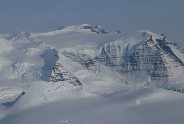
Watkins Mountains, N68:51.0 W29:37.5
Seventh-highest in Greenland
First Ascent 1988: J. Lowther (unconfirmed)
Second Ascent 2004: E. Nordahl
Our ascent: 01. and 02.05.2008 (3rd ascent in history)
Route: 2 crossings (PD+) on the way to and from PEV
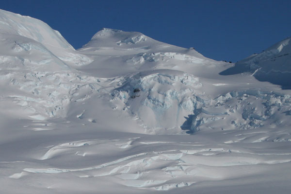
Watkins Mountains
First crossing 01.05.2008: Csak/Rind
Route: 2 crossings (up to D-) on the way to and from PEV
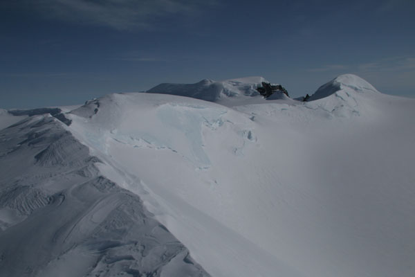
Rasmussens Bjerge, N69:17.7 W028:47.3
First Ascent 20.04.2008: Csak/Rind
Route: NW ridge und W flank (PD+)
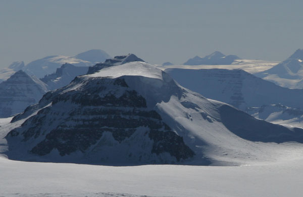
Rasmussens Bjerge, N69:16.2 W029:08.6
First Ascent 21.04.2008: Csak/Rind
Route: SW flank und NW ridge (AD+)
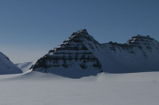
Rasmussens Bjerge, N69:13.2 W029:09.7
First Ascent 23.04.2008: Csak/Rind
Route: NW ridge (D-)
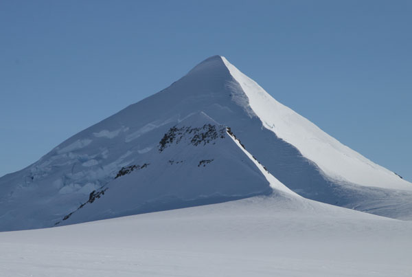
Rasmussens Bjerge, N69:13.0 W029:31.1
highest mountain in Rasmussens Bjerge
First Ascent: unknown (possibly 1988: J. Lowther)
Second Ascent 25.04.2008: Csak/Rind
Route: S flank (F)
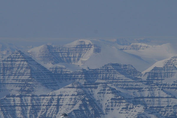
Gronau Nunatakker, N69.26.2 W030:13.0
First Ascent 11.05.2008: Csak/Rind
Route: N flank (PD)
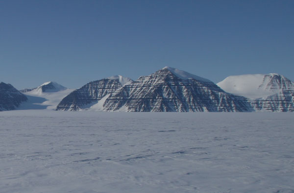
Gronau Nunatakker, N69:28.7 W030:18.2
First Ascent 11.05.2008: Csak
Route: E ridge (AD)
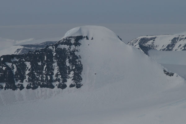
Gronau Nunatakker, N69:28.5 W030:15.4
First Ascent 13.05.2008: Csak/Rind
Route: W ridge (F)
Ski descent (Csak)
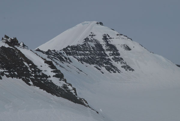
Paul Stern Land, N70:24.8 W030:07.3
20.05.2008: Csak
Route: from W (walk)
